Looking for the plot layout? The Margalla Enclave map: every block, street and plot on the master plan sheet, with the PDF.
The coordinates
The Environmental Impact Assessment filed for the joint venture puts the site at 33°41′46.00″N, 73°10′40.58″E. In decimal terms that is 33.69611, 73.17794 — which you can paste straight into any maps app. We prefer to give you the EIA’s figure rather than a pin someone dropped on a dealer’s brochure.
The project marker is plotted from the EIA coordinates and marks the site as a whole, not a block or a plot. The second marker is our office, approximate: the zoo it faces on the Sector C commercial avenue in Bahria Enclave. For a plot, take its street and plot number to the master plan and the plot finder.
What it is near
The Zone IV corridor along Jinnah Avenue is the same belt that holds Bahria Enclave, Park View City and Park Enclave, with Chak Shahzad and Bani Gala close by. If you know Bahria Enclave, you already know the approach roads, the traffic and the direction the city is growing.
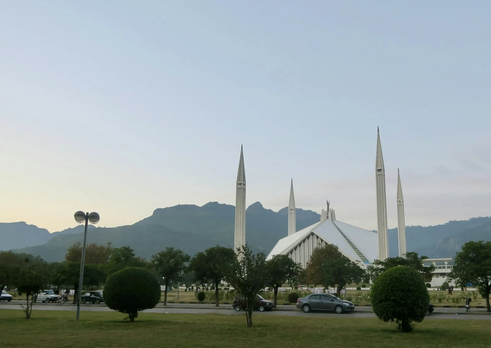
Illustrative: the Margalla Hills and Faisal Mosque, Islamabad — not the project site itself, which sits further out on the Jinnah Avenue corridor.
Zone IV: what it does and does not tell you
Islamabad Capital Territory is split into five planning zones under the ICT (Zoning) Regulation 1992. Margalla Enclave is in Zone IV, the rural eastern and south-eastern belt on the Kuri side. Zone III is the Margalla Hills National Park, where no housing is allowed. DHA describes the scheme as “at the foothills of Margalla Hills”; legally it sits in Zone IV, outside the Zone III park.
In Zone IV, private housing is allowed only in the sub-zones CDA has opened for it and only on a CDA-approved layout. The developer’s environmental assessment, hosted by Pak-EPA, prints this scheme’s land use beside those CDA standards, and on our reading two lines fall below them, and a third is over the maximum if parking counts. “Zone IV” on its own says nothing about approval: Bahria Enclave, Park View City and Margalla Enclave are all Zone IV and their legal positions differ. Margalla Enclave’s NOC and CDA status.
Drive times — DHA’s figures, labelled as such
These come from the official project site. They are marketing claims, and we have not driven them with a stopwatch. Read them as best-case, off-peak.
| To | DHA’s claim |
|---|---|
| Srinagar Highway | 5 minutes |
| Faizabad | 8 minutes |
| Zero Point | 10 minutes |
Drive times as published on margallaenclave.dhai-r.com.pk, read 9 September 2026.
Anyone who has sat on Park Road at half past five will apply their own discount to these. The honest version is that Margalla Enclave is genuinely well positioned for Zone IV — and that Zone IV traffic is Zone IV traffic.
The Park Road link
The CDA had targeted 30 July 2026 for opening the Park Road underpass; it missed that date and opened to traffic in September 2026, as ProPakistani and Islamabad Scene reported. What is not yet confirmed is whether the rest of the wider Park Road package — an overhead structure and service roads — is finished. This matters more than it sounds: access is the difference between a plot you can reach and a plot you can only point at. Underpass & road access, in full.
Go and stand on it. Whatever any site tells you, a Zone IV plot is worth an hour of your Saturday. Take the block and street number, drive the actual approach road, and look at what is built within 500 metres. Muhammad Hasnain will take you if it helps.
Last checked . First published .
Want to see the site?
Our office is on the same Zone IV corridor. A site visit is the cheapest due diligence there is.